Natural Earth is a free, high-quality map dataset available at 1:10m, 1:50m, and 1:110m scales in vector and raster formats. Its cultural vector layers include political data such as country borders and administrative boundaries.
By default, Natural Earth displays boundaries based on de facto control: who actually controls a territory. Its POV, or Point of View, datasets provide alternative versions based on particular de jure claims or institutional perspectives.
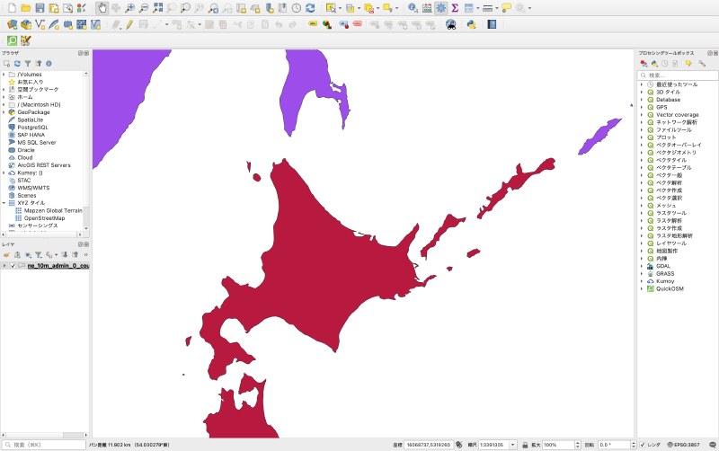
What POV Means
In the Natural Earth context, POV means Point of View. It describes boundary data that reflects how a specific country or institution understands the world according to its laws, alliances, and official claims.
The default dataset uses a more neutral de facto view. But territorial disputes are often viewed differently by different states. POV variants make it possible to create maps from a Japanese, Chinese, American, or other official perspective. The number of countries and some boundary lines can change depending on the selected viewpoint.
Why It Matters
Political boundaries are not only geometry. They encode diplomatic position. If a map is used in education, journalism, product interfaces, or government materials, the boundary dataset can imply a position on disputed territories.
Natural Earth’s POV data makes this issue explicit by offering multiple boundary views rather than pretending that there is always a single universally accepted map.
Typical Uses
- Internationalized map products
- Educational materials requiring a particular official view
- Comparative cartography
- Diplomatic or policy analysis
- Applications that must comply with local map display rules
Design Notes
- State which POV dataset is used.
- Avoid mixing different viewpoints without explanation.
- Treat disputed boundaries as editorial and political decisions, not only technical data.
- Keep metadata with the map so the source and viewpoint remain traceable.
Summary
Natural Earth’s POV data is useful because it acknowledges that political geography can depend on perspective. Choosing a boundary dataset is a design and policy decision, especially when maps include disputed territories.