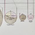
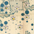
A Country's Extent as the Area of a Circle, the Weight of Its Tax as the Direction of a Dotted Line: Playfair's The Statistical Breviary, Chart 1
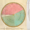
The Same Square Miles, Drawn as the Area of a Circle and as the Angle of a Sector: Playfair in 1801 and 1805
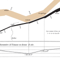
10,000 Men per Millimeter: Minard's 1869 Chart Drawing Napoleon's and Hannibal's Armies by the Same Rule
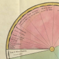
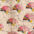
Semicircles for Length and Breakdown, Quarter-Circles for Density: The 1880 Transport Routes Map in the Album de statistique graphique
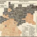
Switching Inks at the Imperial Average: The German Imperial Statistical Office's Wheat-Yield Map (1905)